

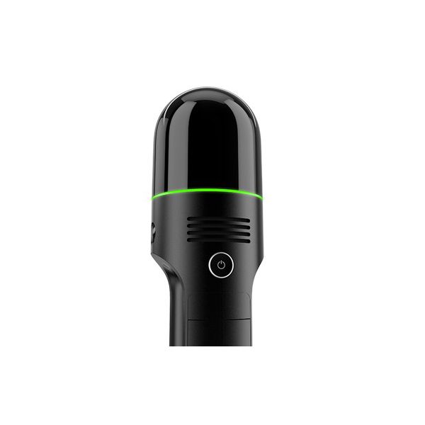
Leica RTC360 3D Laser Scanner
The Leica RTC360 is a cutting-edge 3D laser scanner designed for precision and efficiency in construction projects. Its compact design and advanced imaging capabilities ensure accurate data capture, making it an essential tool for professionals seeking to enhance productivity and streamline workflows on-site.
Item ID: 50000988
Reference: 196165
Basic Dimensions
Weight (kg)5.35
Height (mm)230
Length (mm)240
Width (mm)120
Convenience Features
FeaturesFast // Agile // Precise
GPS Signal / TraceabilityYes
Power Source
Power Source / Fuel TypeBattery
Battery Lifeup to 4 hours
Battery OptionsLeica GEB364 x2
Battery TypeLithium
Output - Power24 V DC, 6.25 A, 150 W
Safety Information
Protection Class (IP)54
Temperature - Operating (°C)-5 to +40
Temperature - Storage (°C)-40 to +70
Temperature - Operating Extended (°C)-10 to +40
Technical Specifications
HumidityMax 95% non-condensing
MaterialsAluminium frame and sidecovers
Purpose/Made for
- Measuring horizontal and vertical angles
- Measuring distances
- Capturing and recording images
- Recording measurements
- Remote control of product
- Data communication with external appliances
Time - Charging (mins)240–480
Time - Operating / Run (mins)480
Maintenance / Calibration (Months)12
Time - Charging (hrs)
- 1-2 batteries: up to 4
- 3-4 batteries: up to 8
Operation
- On scanner: Touch-screen control with finger touch, full colour WVGA graphic display 480 x 800 pixels
- Mobile devices: Leica Cyclone FIELD 360 app for iOS and Android tablet computers and smartphones including: - Remote control of scan functions - 2D & 3D data viewing - Tagging - Automatic alignment of scans
- Wireless: Integrated wireless LAN (802.11 b/g/n)
- Data storage: Leica MS256, 256 GB exchangeable USB 3.0 flash drive
Scanning
- Distance measurement: High-speed, high dynamic time of flight enhanced by Waveform Digitising (WFD) technology
- Laser class: 1 (in accordance with IEC 60825-1:2014), 1550 nm (invisible)
- Field of view: 360° (horizontal) / 300° (vertical)
- Range: Min. 0.5 - up to 130 m
- Speed: Up to 2,000,000 pts / sec
- Resolution: 3 user selectable settings (3/6/12 mm @ 10 m)
- Accuracy: Angular accuracy 18” // Range accuracy 1.0 mm + 10 ppm // 3D point accuracy // 1.9 mm @ 10 m // 2.9 mm @ 20 m // 5.3 mm @ 40 m
- Range noise: 0.4 mm @ 10 m, 0.5 mm @ 20 m
ColourLight grey and white
Imaging
- Camera: 36 MP 3-camera system captures 432 MPx raw data for calibrated 360° x 300° spherical image
- Speed: 1 minute for full spherical HDR image at any light condition
- HDR: Automatic, 5 brackets
Navigation Sensors
- Visual Inertial System: Video enhanced inertial measuring system to track movement of the scanner position relative to the previous setup in real time
- Tilt: IMU based, Accuracy: 18“ (for upright and upside down setups with +/- 10° inclination)
- Additional sensors: Altimeter, Compass, GNSS
Performance
- Data acquisition: <2 mins for complete full dome scan and spherical HDR image at 6mm @ 10 m resolution
- Real time registration: Automatic point cloud alignment based on real time tracking of scanner movement between setups based on Visual Inertial System (VIS) by video enhanced inertial measurement unit
- Double scan: Automatic removal of moving objects
- Check & Adjust: Field procedure for targetless checking of angular parameters


